Unknown's avatar

About Maggie C

Stained glass artist, writer, respecter of life.

Weekend Wildcard: Building Plans

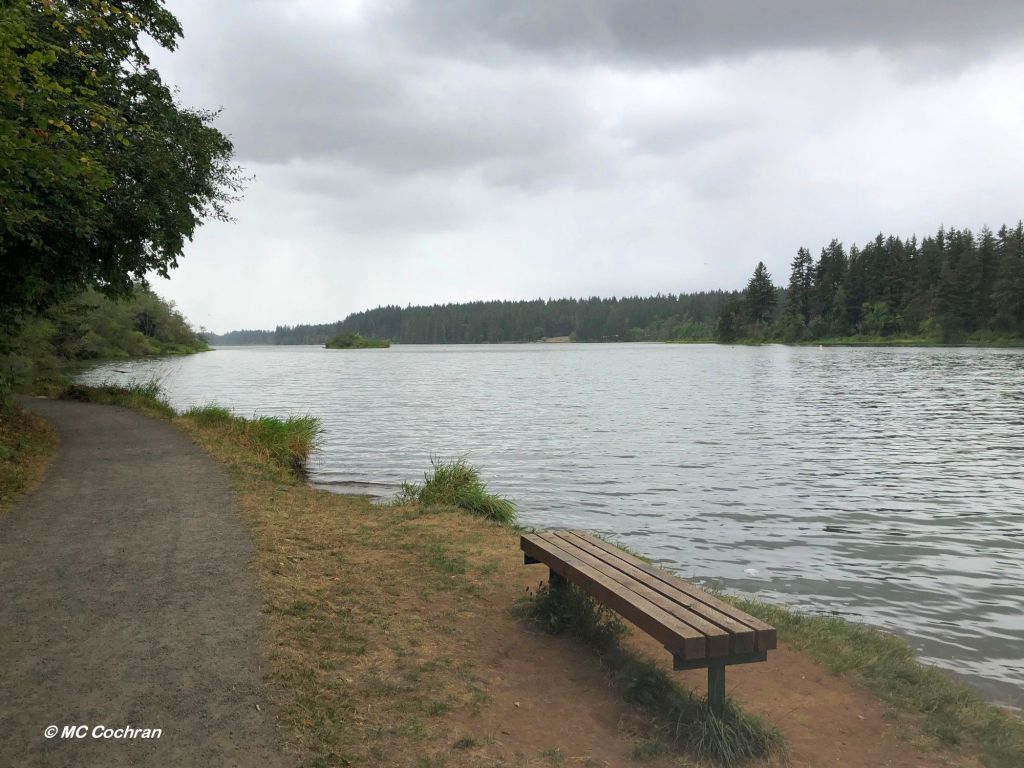
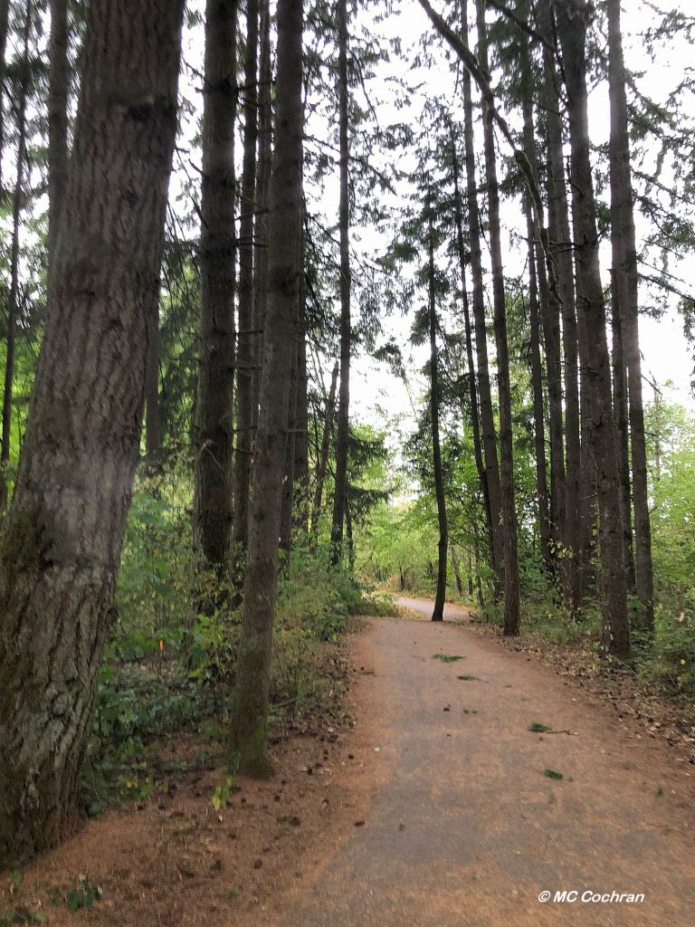
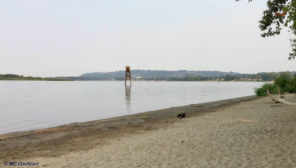
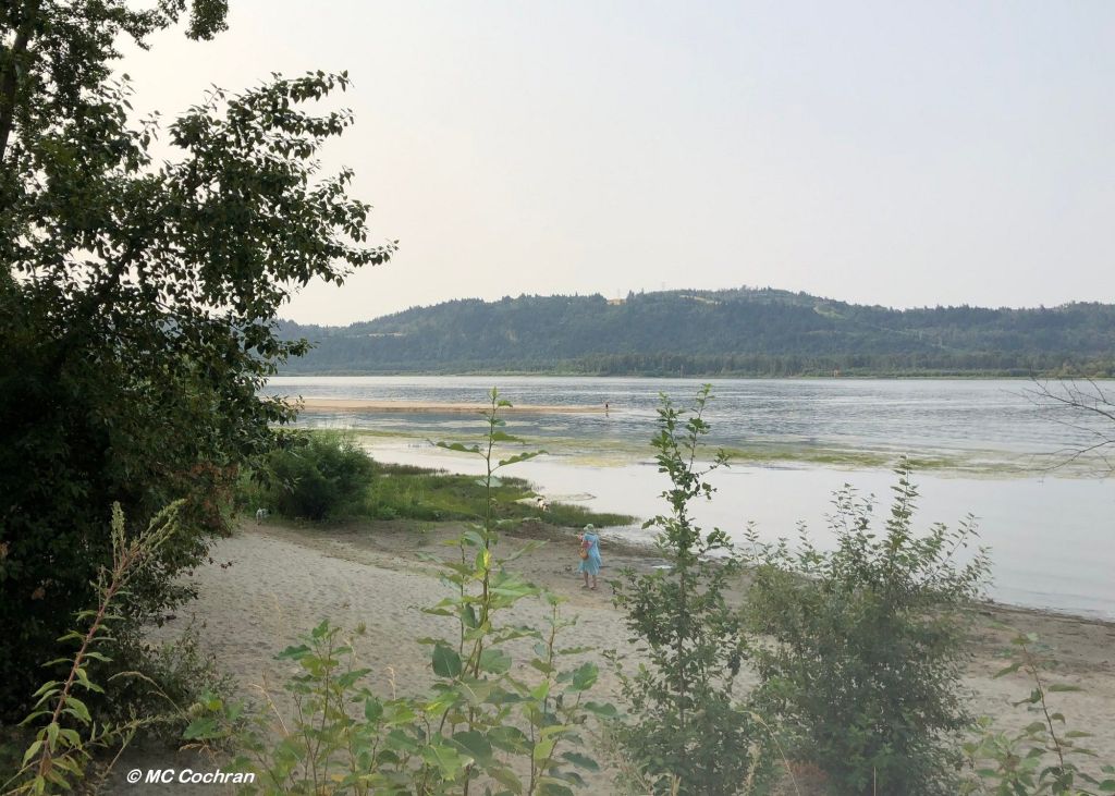
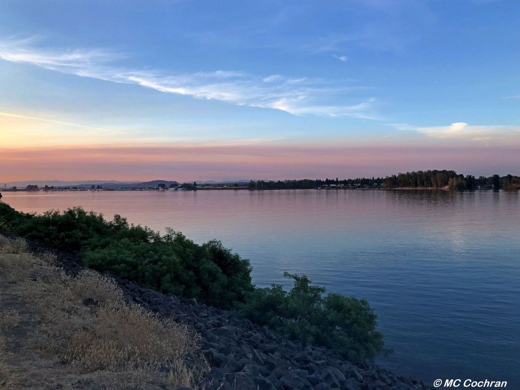
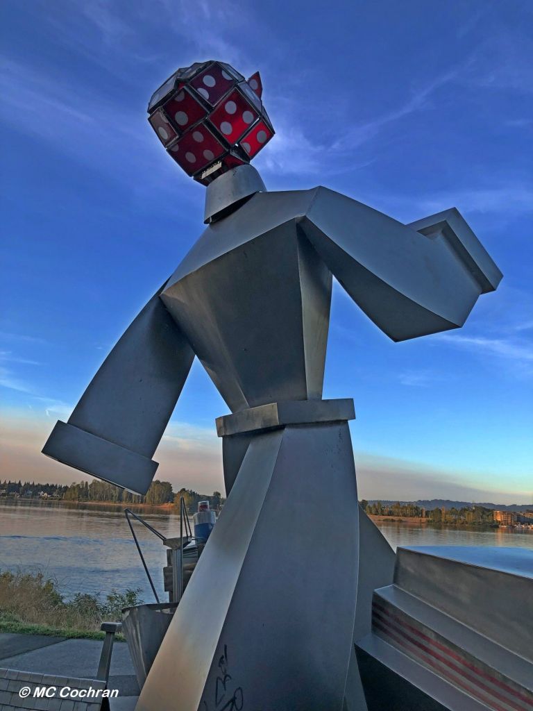
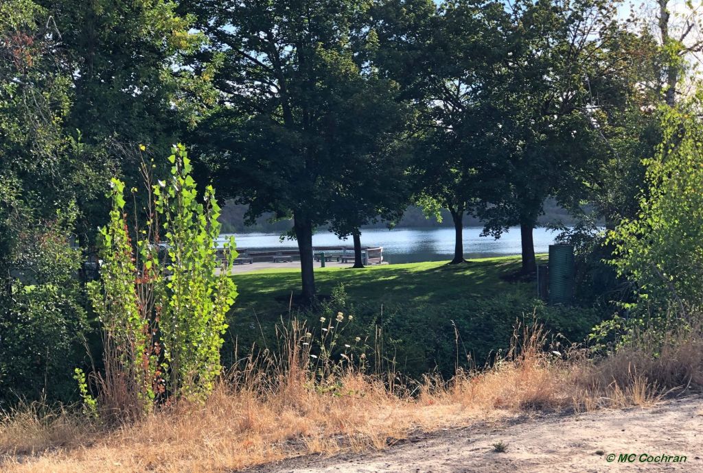
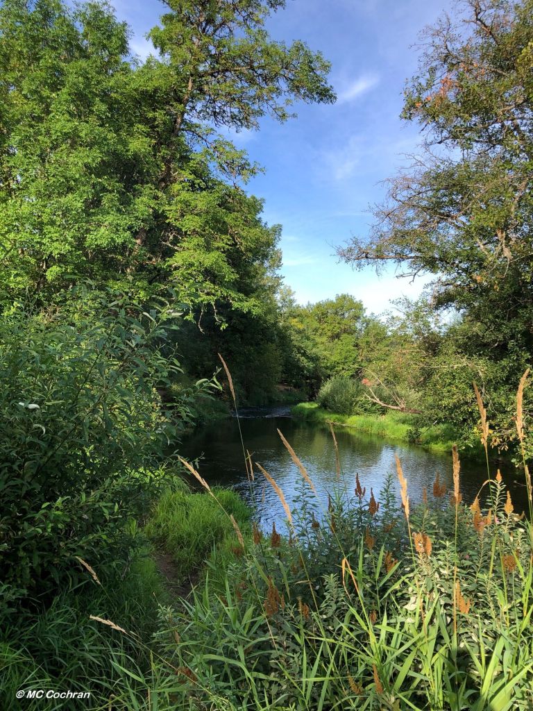
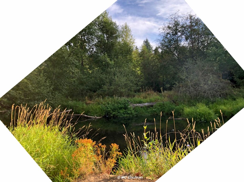
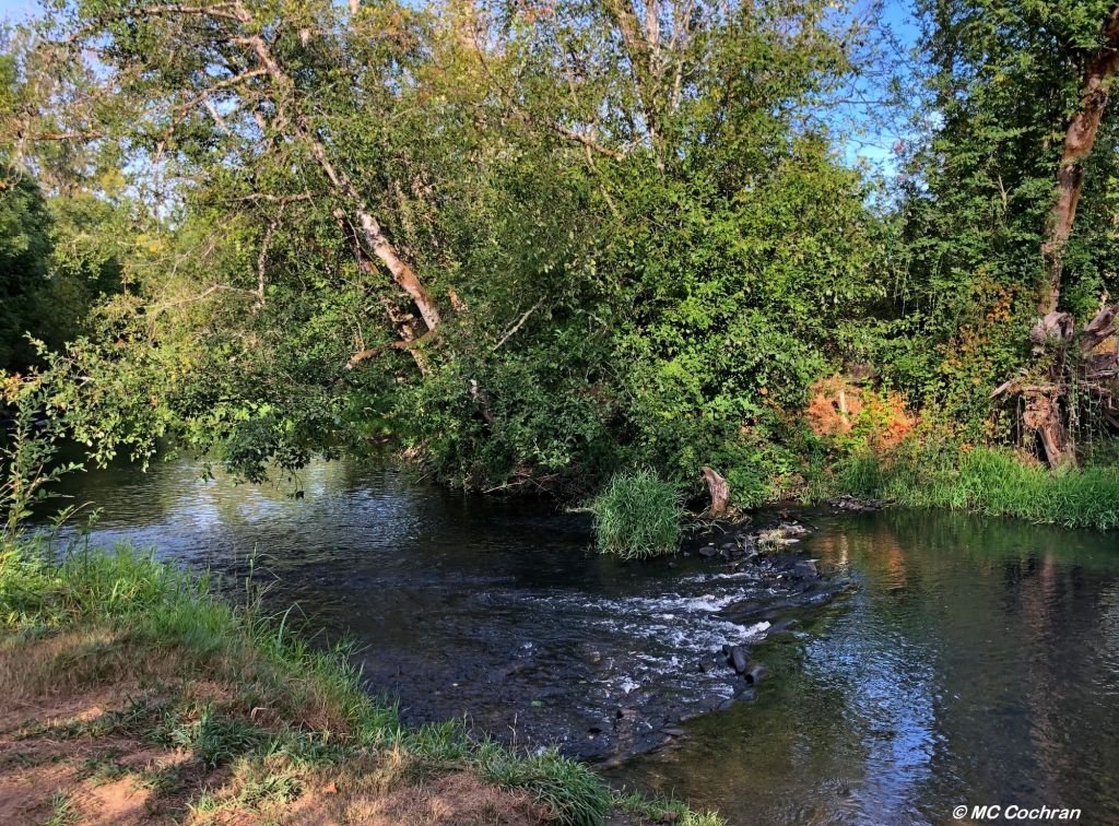
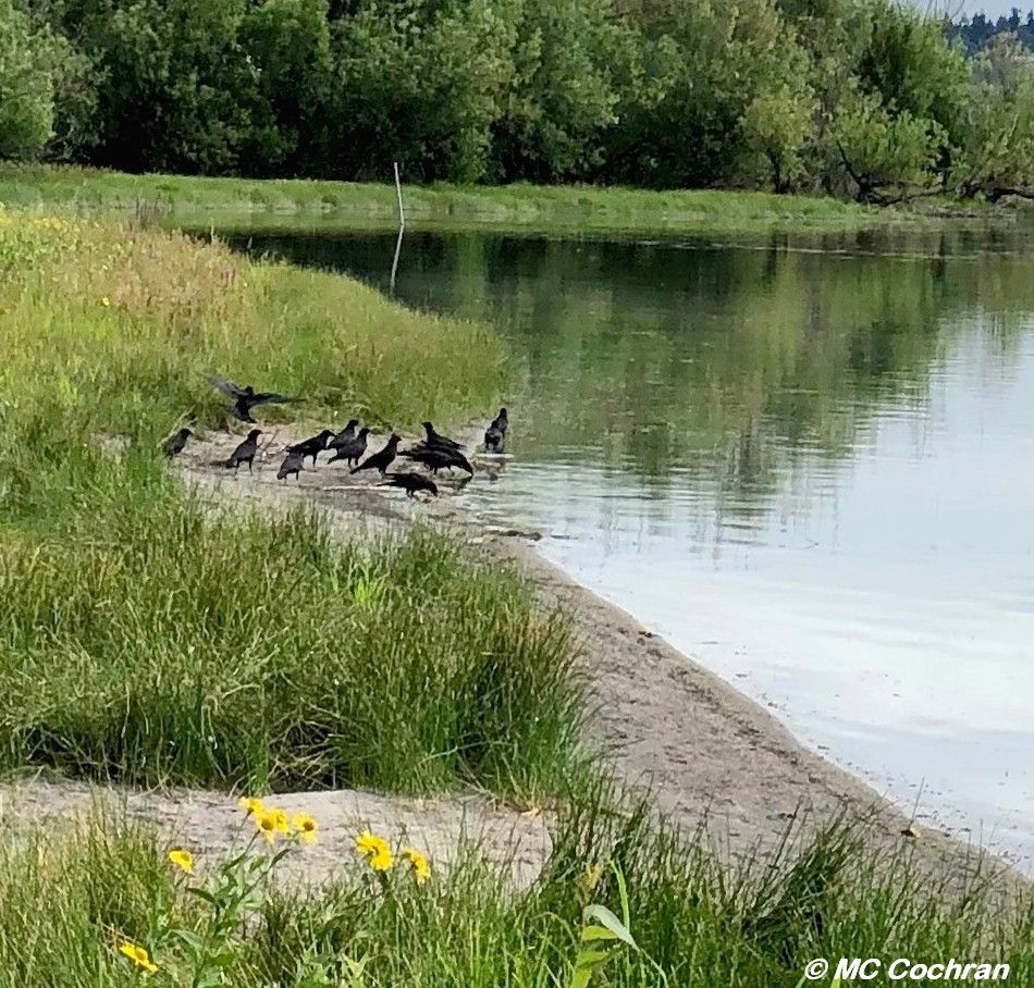
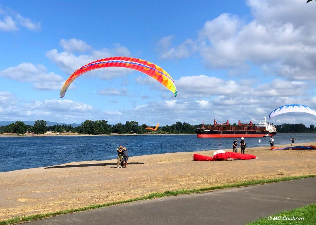
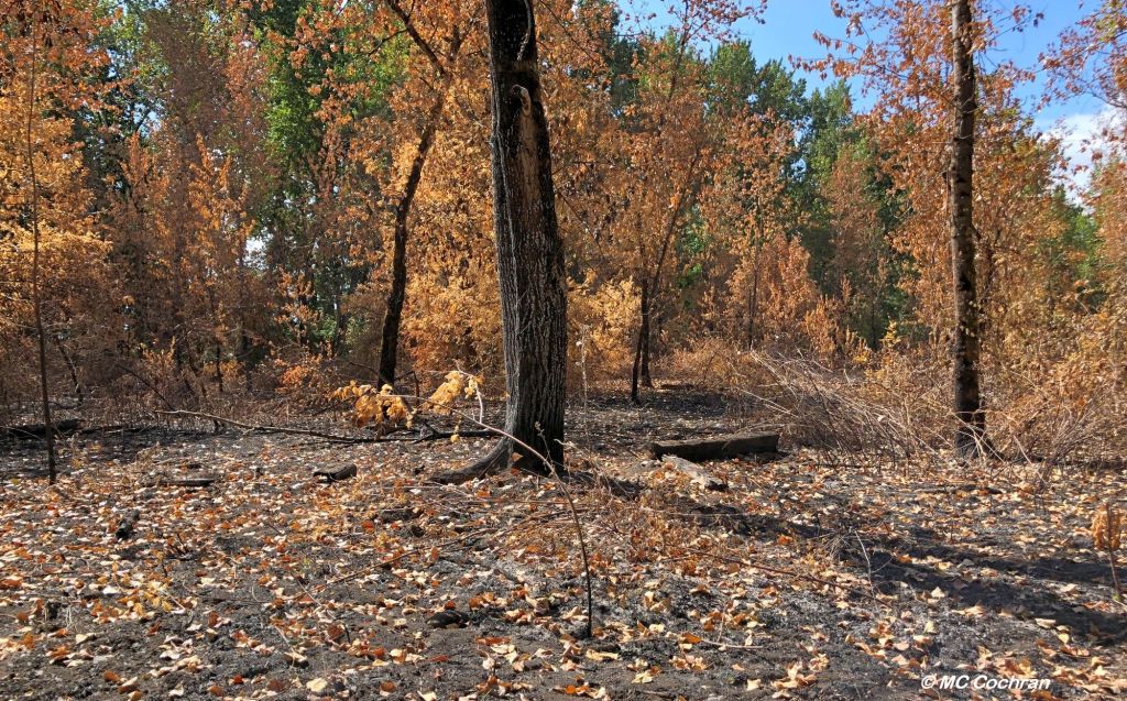
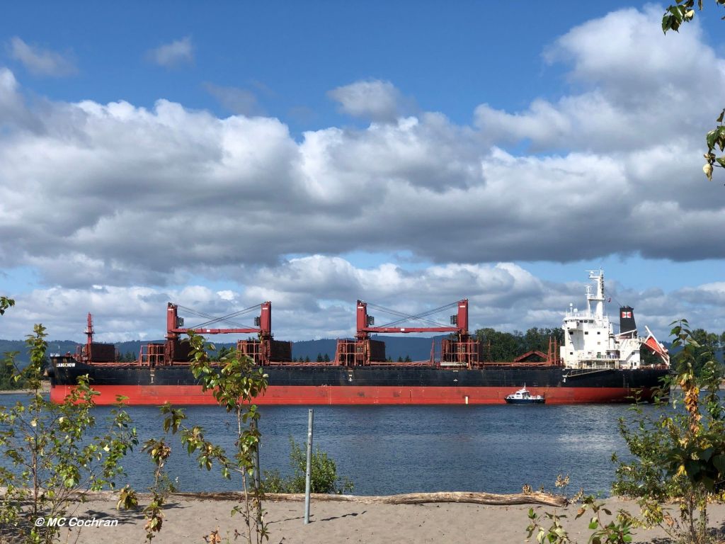
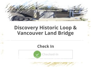
I got kind of waylaid in recounting my Summer Spots visits. Spoiler alert: I did complete the requisite 15 site check-ins to qualify for the drawing. Second spoiler alert: I didn’t win anything in the drawing. That’s okay, though. Chules and I had fun seeing the sights. And I’ll get around to posting about the rest of the sites soon.

What derailed my blogging was a late summer building project.

I had been knocking around the idea of making a play structure of some sort in my back yard for my grandkids to enjoy. We’d talked about it, and they had drawn up “plans” for what they wanted. Some of their ideas defied the laws of gravity, some defied the limits of my budget, and some had good potential.

After a prolonged conceptualization phase, I figured I’d better put my muscle where my mouth is, and I set about coming up with a real plan. My first draft looked like an outhouse with windows.

I then advanced to something that resembled a roadside fruit stand.

I can’t find the subsequent plans I drew, but they were equally inspirational.

I ordered materials from the lumber yard and set about digging post holes.

Having successfully built a square deck last year, I figured I could easily make a rectangular frame out of 4×4 posts. Unfortunately, I figured wrong.

I tried to determine what geometric shape I had made, if not a rectangle. I still needed to put a square roof on it, after all.

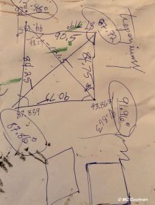
It was time to conjure up some optical illusions.

It didn’t help that most of the posts and boards picked out by the lumberyard were warped, some had significant splitting, some weren’t pressure treated as I had specified, and some – well, I couldn’t remember why I had ordered those particular size of boards in the first place.

Nevertheless, I persisted. I had to get creative to make some things work, and when I ran out of materials, I made do with odds and ends I had about the place.

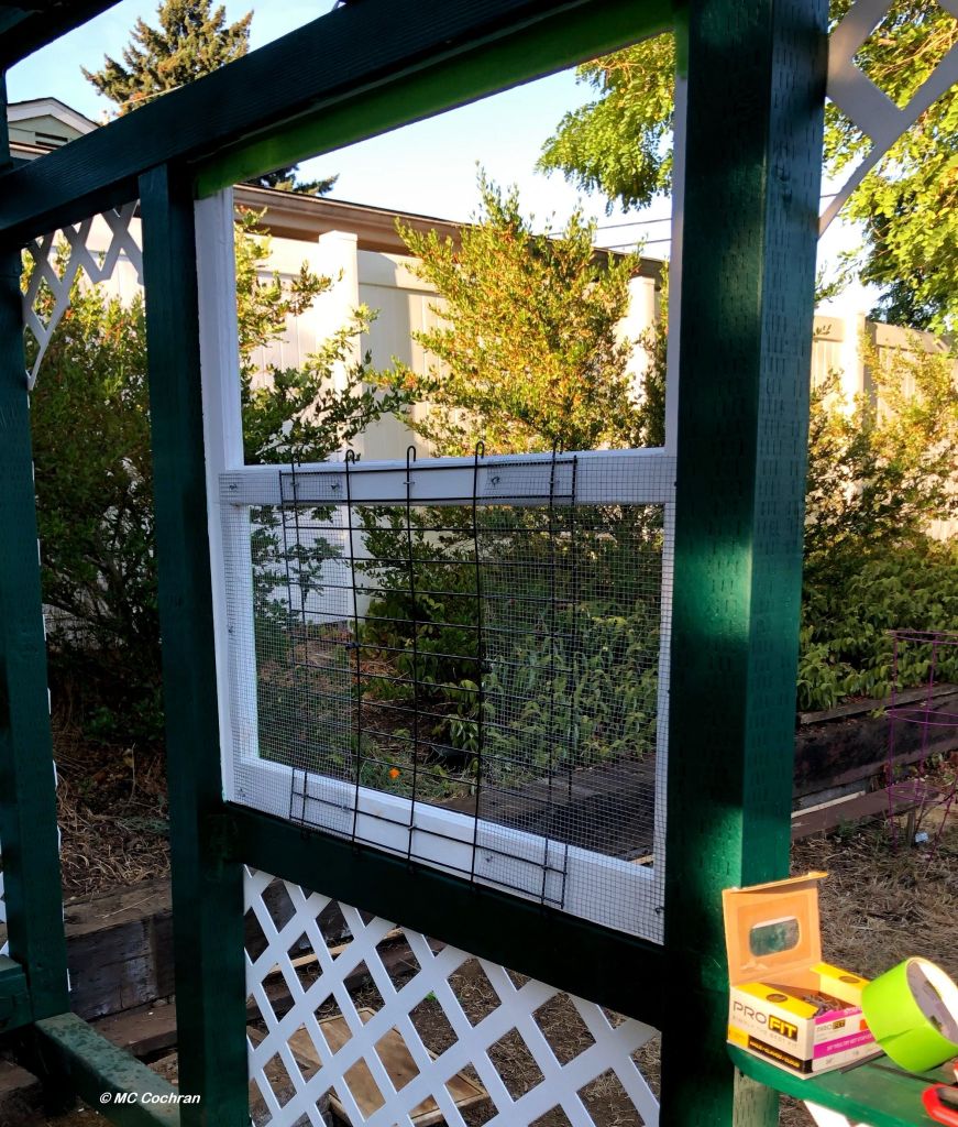
It seems sturdy enough, though, and the kids like it. If you stand way back and squint real hard, it even looks pretty good.  

I think I’ve placated the building bug for now, so I’ve returned my attentions to the front yard. Here’s my plan for that:

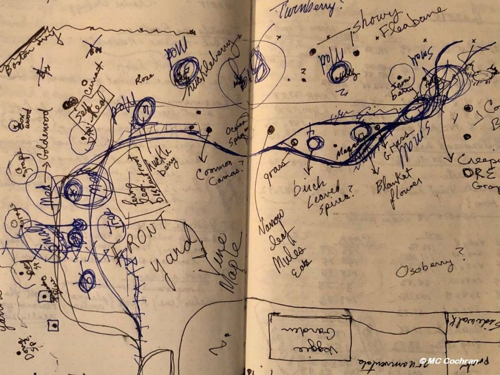
I’ll let you know how that goes.

Vancouver, USA Summer Spots (Walks #10 and #11)

Photo: Lacamas Heritage Trail

As our Vancouver USA Summer Spots Challenge walks continue, Chules and I moved on to the Salmon Creek Greenway Trail and the Lacamas Heritage Trail.

The Salmon Creek Greenway Trail check-in was at the west end of the trail. The east end is 3 miles away at Klineline Pond, where we visited earlier in our 7th walk. I’ve been on the Salmon Creek trail many times, so it was a familiar, comfortable place to visit.

I was surprised at how low the water level was, but I guess that’s to be expected given the dry, hot weather we’ve been facing this year.

It was heating up pretty fast on the day Chules and I visited, so we didn’t walk the whole length of the trail. But we got in a good mile and did our gps check-in.

The day we went to Lacamas Lake for the Heritage Trail visit, it was actually cool and drizzly, and I was glad to have taken a warm vest along. Chules didn’t seem to care one way or the other.

I had never been on this trail before, at least not that I recall, and I was pleasantly surprised at the tall trees, lush ferns and expansive lake.

This is another candidate for a return visit in the fall to enjoy the color changes.

Eleven check-ins done, four to go!

Vancouver, USA Summer Spots (Walk #9)

In our quest to complete the Vancouver USA Summer Spots Challenge (and thereby be entered into a drawing for which I no longer even remember what the prizes are), Chules and I made our ninth outing a trip to Washougal, Washington, which is east of Vancouver. There, the Captain William Clark Park overlooks the Columbia River.

The park’s namesake, William Clark, is half of the famed Lewis and Clark explorer duo that came to the Pacific Northwest in 1806. The park features replica dugout canoes, and while I was trying to figure out if they were supposed to be Lewis and Clark’s dugouts or those of the local Chinook tribe, I learned that the explorers never described their canoes in their journals, so the replicas would be speculation at best.

I can pretty much guarantee, though, that they didn’t have a hole at the bottom as seen in this photo:

The park is also the location of Cottonwood Beach, and I took Chules down to the water to soak his tootsies, but he was not interested in the least so we made our gps check-in and headed home.

Nine check-ins down, six to go!

Vancouver, USA Summer Spots (Walk #8)

At the halfway point of the Visit Vancouver USA challenge (an app designed to encourage participants to get outdoors and explore the area), my eighth walk took me to the banks of the Columbia River and the Waterfront Renaissance Trail.

Chules and I went early in day to avoid the “heat dome” high temperatures, so we managed to catch a bit of the sunrise pink sky.

We’ve visited this area many times, so we strolled the familiar walkway for about a mile. I always enjoy seeing the art installations, including this sculpture of Ilchee, by artist Eric Jensen.

The sign next to the sculpture tells us that:

 “Ilchee, or ‘Moon Woman,’ was the daughter of Chinook Chief Comcomly. Ilchee arrived in the Fort Vancouver area in 1813, where she met and married her father’s successor, Chief Casino. She is depicted gazing west down the Columbia River, toward her family’s ancestral home at Chinook Point on the Washington coast.”

Farther east on the trail is another public art piece titled “Wendy Rose,” by the artists Women Who Weld (Sharon Agnor, Wendy Armstrong, Sumi Wu, Jennifer Corio & Kathy Wilson).

The plaque there states:

“Wendy celebrates the legacy of the women who entered the workforce at the Kaiser Shipyards during World War II. Wearing a bright red polka dot scarf made of glass, Wendy strides across the Bonneville Dam and is surrounded by other local symbols of the era.”

An interesting contrast between Ilchee and Wendy Rose, historically (and artistically) speaking.

So that’s eight site check-ins; seven to go!


Also an entry for the Photographing Public Art Challenge (PPAC) hosted by Marsha and Cee.

Vancouver, USA Summer Spots (Walk #7)

Photo: Salmon Creek, Vancouver WA

The 7th outing for the Summer Challenge walks took us to Klineline Pond. Fortunately we could do our gps check-in from the parking lot because – after paying the parking fee – we discovered that my fur buddy Chules was not welcome at the pond.

So we took a photo from afar. The pond area appears to be very lush and green.

See that dried brown area in the forefront of the pic? Yeah, that’s where Chules and I were delegated to be. Nonetheless, there is a path that parallels Salmon Creek, the stream that feeds into Klineline Pond, so we took that and got in a nice little scenic walk.

I think Chules took this next pic. I did my best to straighten it. He thinks it looks great.

The next photo is straight. It’s the tree that’s crooked.

Seven site check-ins down; eight to go!

Vancouver, USA Summer Spots (Walks #5 and #6)

The next two checkpoints on my Summer Challenge site visits were Vancouver Lake Park and Frenchman’s Bar Park.

I went to Vancouver Lake first. I have to admit I wasn’t super impressed with the park. It’s got picnic tables and volleyball nets set up on the sandy beaches, and I saw folks headed to the water with kayaks and picnic baskets. But unless I missed something, there’s really not much in the way of “communing with nature” potential.

Chules and I walked down the beach a ways and found a gaggle of geese and a murder of crows. (The murder scene is in the photo at top.) Beyond that, we didn’t see much to crow about. But we were able to check off another location for the challenge!

Frenchman’s Bar Park is a mile to the west of Vancouver Lake (as the proverbial crow flies), on the shore of the Columbia River. We went early in the morning to avoid the +100F degree heat expected later that day, but the place was already busy with paragliders trying to launch from the beach, a wedding (we assumed based on the white-gowned woman and the nervous looking man at her side), and a multi-generational family wandering around at the behest of a photographer conducting a frenzied photoshoot.

Chules and I tried to bypass all of that, and ended up following a gravel/dirt trail north to the river bank. We passed through a sizeable section of woods that had been burned recently, likely the result of an uncontrolled (and illegal) campfire.

Then we circled back where the photographer was encouraging a couple of reluctant kids to snuggle in next to grandma, the wedding party was making its way to tables laden with food, and the deflated paragliders were packing up their deflated gliders. We never saw any of them successfully launch. (Paragliders, that is… hopefully the wedding couple’s launch into married life will fare better.)

We will likely go back to Frenchman’s Bar, but unless Chules develops a penchant for beach volleyball, we won’t be rushing back to Vancouver Lake.

Six site check-ins down, nine to go!

Vancouver, USA Summer Spots (Walks #3 and #4)

Continuing with my Summer Challenge walks, my third and fourth outings were practically at the same location, so I’ll cover them both here.

Fort Vancouver was established in 1824 as a fur trading post by the Hudson’s Bay Company. The company abandoned the fort in 1860 and moved their operations north into British Columbia. The fort was destroyed in a fire in 1866. In 1948, the site was designated as a national monument, and in the mid 1960s, the National Park Service began building the full-size replica structures that stand on the site now.

The day Chules and I visited, the Fort was closed to the public, so we “checked in” via gps, and then walked the paths through the adjacent fields of tall grass and wildflowers.

The following day, we returned and took another path which is part of the Discovery Historic Loop, and leads to the Vancouver Land Bridge which crosses over Hwy 14 and leads to the Old Apple Tree Park.

Photo: Installation at the top of the land bridge, directly over Hwy 14.

The Old Apple Tree, planted in 1826, was – until its recent demise – the oldest apple tree in the Pacific Northwest. If I remember correctly it toppled in a storm, and there is an old stump and a young apple tree there now.

I thought the land bridge was the gps checkpoint, but I wasn’t able to check in until I reached the apple tree, er – stump. The entire Discovery Historic Loop is 2.3 miles, and actually encompasses two other checkpoints that I will cover later.

I will likely return to Ft. Vancouver some other time to tour the actual fort. Chules might have to stay home for that trip. No dogs allowed inside the fort.

Four sites down, 11 to go!