Sculpture Garden (PPAC #38)

I recently visited the Vancouver, WA public library and came across the Mary Granger Sculpture Garden, a collection of four sculptures on the library property, all created by regional artists.

I’ll share them here as part of Marsha’s Photographing Public Art Challenge (PPAC).

“Winged Woman” by Elizabeth Heron, 1997
“Winged Woman” close up.


“Spike Flower” by Manuel Izquierdo, 1991
“Spike Flower” close up.


“Glyph Singer No. 3” by James Lee Hanson, 1976


“Wheel Series” by Don Wilson, 1970s.


I thought I’d come across a fifth piece of public art, but upon further investigation, it turned out to be a bike rack. Oh, well. Perhaps art is in the eye of the beholder.

Vancouver, USA Summer Spots (Walks #10 and #11)

Photo: Lacamas Heritage Trail

As our Vancouver USA Summer Spots Challenge walks continue, Chules and I moved on to the Salmon Creek Greenway Trail and the Lacamas Heritage Trail.

The Salmon Creek Greenway Trail check-in was at the west end of the trail. The east end is 3 miles away at Klineline Pond, where we visited earlier in our 7th walk. I’ve been on the Salmon Creek trail many times, so it was a familiar, comfortable place to visit.

I was surprised at how low the water level was, but I guess that’s to be expected given the dry, hot weather we’ve been facing this year.

It was heating up pretty fast on the day Chules and I visited, so we didn’t walk the whole length of the trail. But we got in a good mile and did our gps check-in.

The day we went to Lacamas Lake for the Heritage Trail visit, it was actually cool and drizzly, and I was glad to have taken a warm vest along. Chules didn’t seem to care one way or the other.

I had never been on this trail before, at least not that I recall, and I was pleasantly surprised at the tall trees, lush ferns and expansive lake.

This is another candidate for a return visit in the fall to enjoy the color changes.

Eleven check-ins done, four to go!

Vancouver, USA Summer Spots (Walk #9)

In our quest to complete the Vancouver USA Summer Spots Challenge (and thereby be entered into a drawing for which I no longer even remember what the prizes are), Chules and I made our ninth outing a trip to Washougal, Washington, which is east of Vancouver. There, the Captain William Clark Park overlooks the Columbia River.

The park’s namesake, William Clark, is half of the famed Lewis and Clark explorer duo that came to the Pacific Northwest in 1806. The park features replica dugout canoes, and while I was trying to figure out if they were supposed to be Lewis and Clark’s dugouts or those of the local Chinook tribe, I learned that the explorers never described their canoes in their journals, so the replicas would be speculation at best.

I can pretty much guarantee, though, that they didn’t have a hole at the bottom as seen in this photo:

The park is also the location of Cottonwood Beach, and I took Chules down to the water to soak his tootsies, but he was not interested in the least so we made our gps check-in and headed home.

Nine check-ins down, six to go!

Vancouver, USA Summer Spots (Walk #7)

Photo: Salmon Creek, Vancouver WA

The 7th outing for the Summer Challenge walks took us to Klineline Pond. Fortunately we could do our gps check-in from the parking lot because – after paying the parking fee – we discovered that my fur buddy Chules was not welcome at the pond.

So we took a photo from afar. The pond area appears to be very lush and green.

See that dried brown area in the forefront of the pic? Yeah, that’s where Chules and I were delegated to be. Nonetheless, there is a path that parallels Salmon Creek, the stream that feeds into Klineline Pond, so we took that and got in a nice little scenic walk.

I think Chules took this next pic. I did my best to straighten it. He thinks it looks great.

The next photo is straight. It’s the tree that’s crooked.

Seven site check-ins down; eight to go!

Vancouver, USA Summer Spots (Walks #5 and #6)

The next two checkpoints on my Summer Challenge site visits were Vancouver Lake Park and Frenchman’s Bar Park.

I went to Vancouver Lake first. I have to admit I wasn’t super impressed with the park. It’s got picnic tables and volleyball nets set up on the sandy beaches, and I saw folks headed to the water with kayaks and picnic baskets. But unless I missed something, there’s really not much in the way of “communing with nature” potential.

Chules and I walked down the beach a ways and found a gaggle of geese and a murder of crows. (The murder scene is in the photo at top.) Beyond that, we didn’t see much to crow about. But we were able to check off another location for the challenge!

Frenchman’s Bar Park is a mile to the west of Vancouver Lake (as the proverbial crow flies), on the shore of the Columbia River. We went early in the morning to avoid the +100F degree heat expected later that day, but the place was already busy with paragliders trying to launch from the beach, a wedding (we assumed based on the white-gowned woman and the nervous looking man at her side), and a multi-generational family wandering around at the behest of a photographer conducting a frenzied photoshoot.

Chules and I tried to bypass all of that, and ended up following a gravel/dirt trail north to the river bank. We passed through a sizeable section of woods that had been burned recently, likely the result of an uncontrolled (and illegal) campfire.

Then we circled back where the photographer was encouraging a couple of reluctant kids to snuggle in next to grandma, the wedding party was making its way to tables laden with food, and the deflated paragliders were packing up their deflated gliders. We never saw any of them successfully launch. (Paragliders, that is… hopefully the wedding couple’s launch into married life will fare better.)

We will likely go back to Frenchman’s Bar, but unless Chules develops a penchant for beach volleyball, we won’t be rushing back to Vancouver Lake.

Six site check-ins down, nine to go!

Vancouver, USA Summer Spots (Walks #3 and #4)

Continuing with my Summer Challenge walks, my third and fourth outings were practically at the same location, so I’ll cover them both here.

Fort Vancouver was established in 1824 as a fur trading post by the Hudson’s Bay Company. The company abandoned the fort in 1860 and moved their operations north into British Columbia. The fort was destroyed in a fire in 1866. In 1948, the site was designated as a national monument, and in the mid 1960s, the National Park Service began building the full-size replica structures that stand on the site now.

The day Chules and I visited, the Fort was closed to the public, so we “checked in” via gps, and then walked the paths through the adjacent fields of tall grass and wildflowers.

The following day, we returned and took another path which is part of the Discovery Historic Loop, and leads to the Vancouver Land Bridge which crosses over Hwy 14 and leads to the Old Apple Tree Park.

Photo: Installation at the top of the land bridge, directly over Hwy 14.

The Old Apple Tree, planted in 1826, was – until its recent demise – the oldest apple tree in the Pacific Northwest. If I remember correctly it toppled in a storm, and there is an old stump and a young apple tree there now.

I thought the land bridge was the gps checkpoint, but I wasn’t able to check in until I reached the apple tree, er – stump. The entire Discovery Historic Loop is 2.3 miles, and actually encompasses two other checkpoints that I will cover later.

I will likely return to Ft. Vancouver some other time to tour the actual fort. Chules might have to stay home for that trip. No dogs allowed inside the fort.

Four sites down, 11 to go!

Vancouver, USA Summer Spots (Walk #2)

As stated in my last post, I am participating in a local summer “challenge” that aims to get folks out and about to nearby parks, nature trails and other fun outdoor locations. I described my first outing of the challenge here.

My second walking adventure took me to:

Evergreen Trail at Columbia Springs

The Evergreen Trail starts at the Columbia Springs Environmental Education Center in Vancouver, WA. The center is a nonprofit that teaches folks about stewardship and environmental science. There is also an active fish hatchery on site that raises steelhead, rainbow trout and chum salmon.

Chules and I made our way along trails flanked by native and nonnative flora. It all smelled wonderful to Chules.

There are a number of paths to choose from, all of them relatively short and easy to walk.

We met some very friendly ducks who apparently thought we’d be easy marks for snagging a snack. They lost interest and swam away as soon as they realized we were snackless.

All in all, Columbia Springs made for a nice morning adventure, and I got another location checked off my list.

Two down, 13 to go!

Vancouver, USA Summer Spots (Walk #1)

I came across a local “summer challenge” run through an app that is designed to encourage participants to get outdoors and explore the area. There are 20 sites listed, and if I verify (through the app’s gps) that I have visited 15 of the 20 locations by August 31st, I get entered into a drawing for prizes.   

My walking companion Chules and I have visited and “checked in” at five of the locations so far. I’m going to share with you some of the beauty of my area through a series of posts and photos of our outings.  My first destination, in Ridgefield, Washington:

Ridgefield National Wildlife Refuge

Oh, I forgot… Chules didn’t get to come on this walk. No dogs allowed in the refuge. But I had the good company of one daughter and three grandkids.

The Oaks-to-Wetland trail winds through large native Oregon white oak trees and other lush foliage (including some carefully marked poison oak), and along a lake with excellent opportunities for bird spotting.

Photo: poison oak

Then the trail opens up into tall grass and climbs away from the wetlands.

We didn’t make it all the way around the loop. Hot weather and a two-year-old who was due for a nap prevailed. Maybe next time.

One down, 14 more to go.

The Simple Life

Day 26 of NaPoWriMo.*

For today’s prompt, we were asked to fill out an “Almanac Questionnaire” that you can find here, then use our responses as the basis for a poem. And so I came up with this depiction of where I live.

forest

The Simple Life

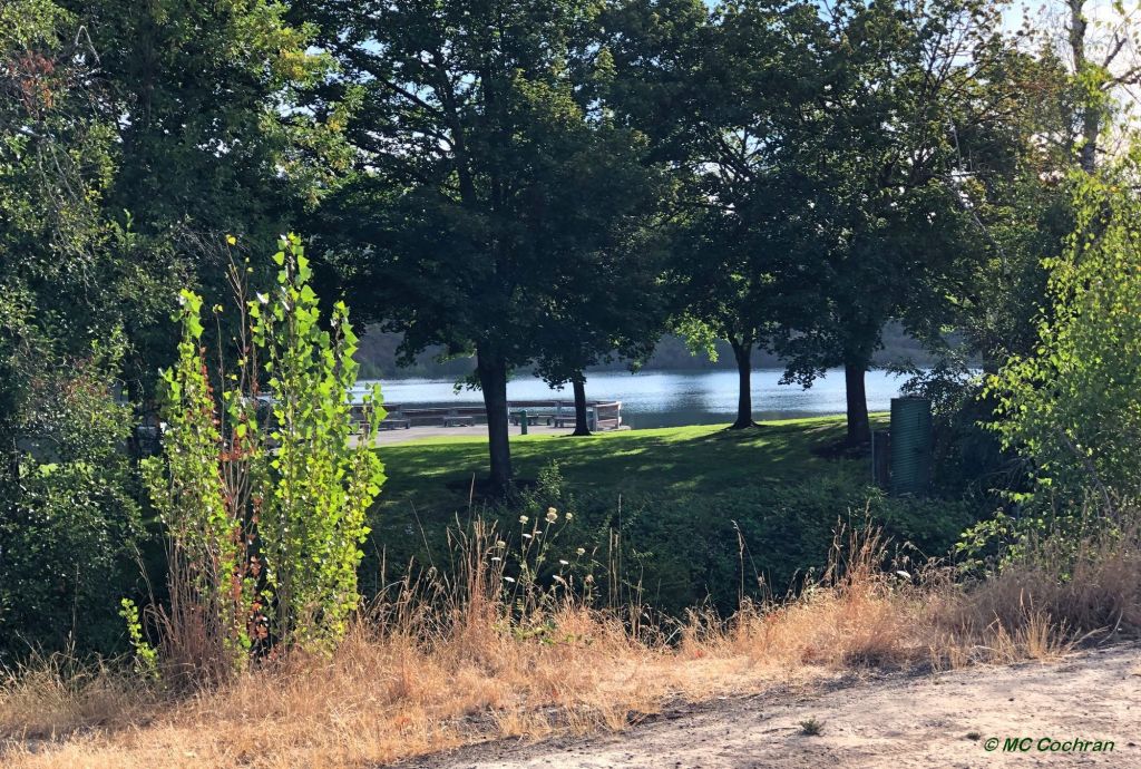
I live in Washington.
State, not DC.
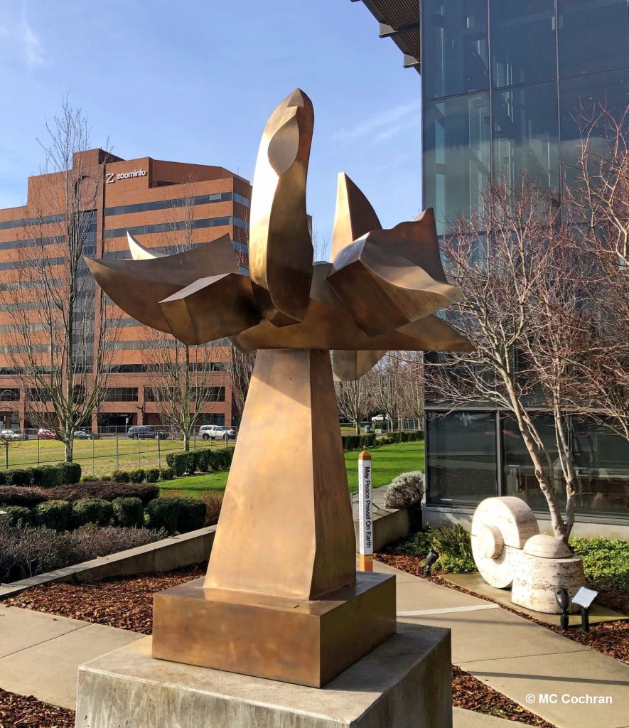
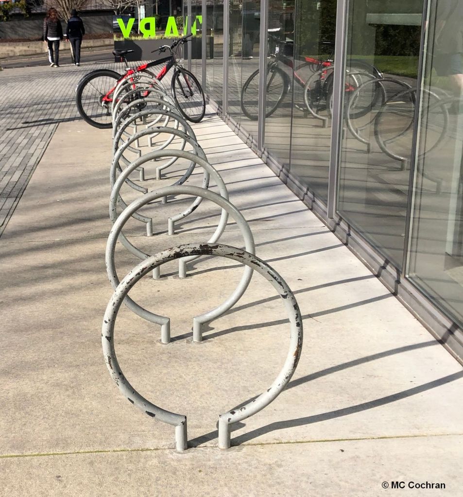
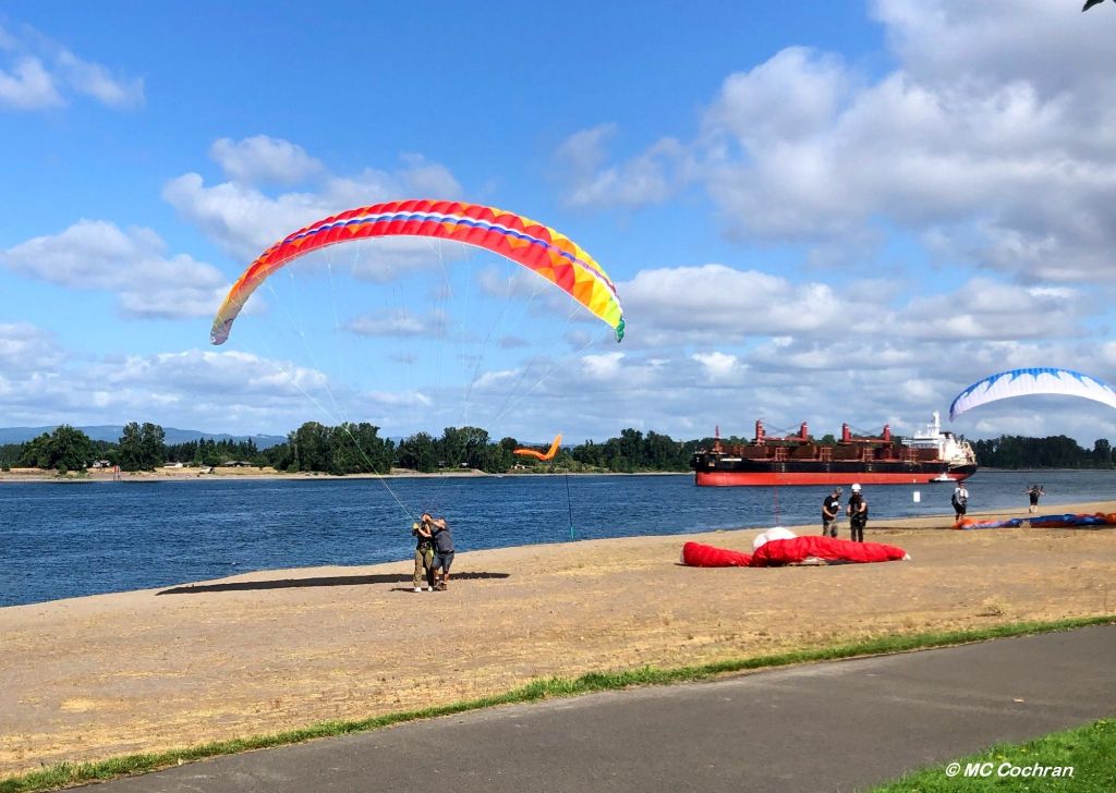
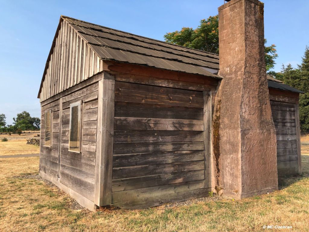
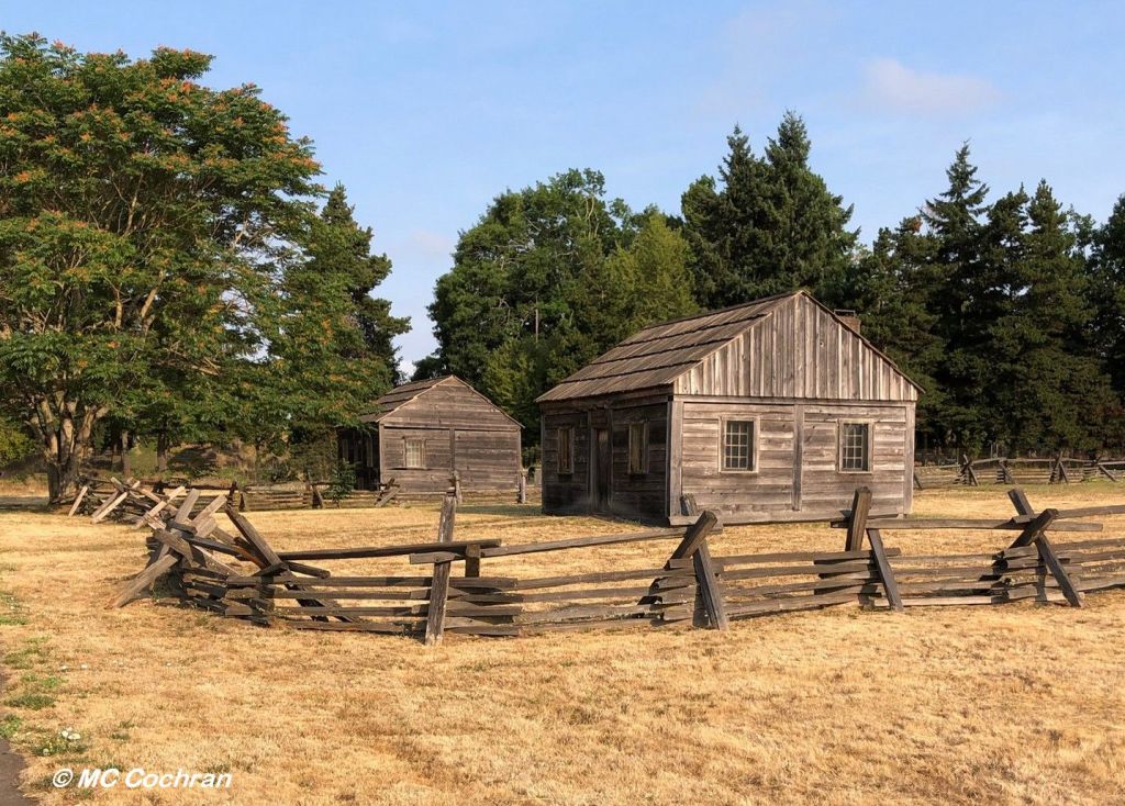
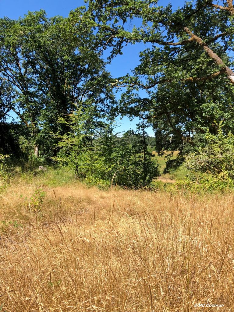
In the city of Vancouver.
United States, not British Columbia.
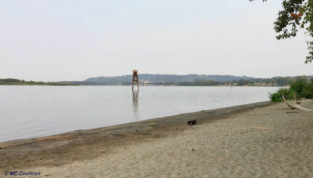
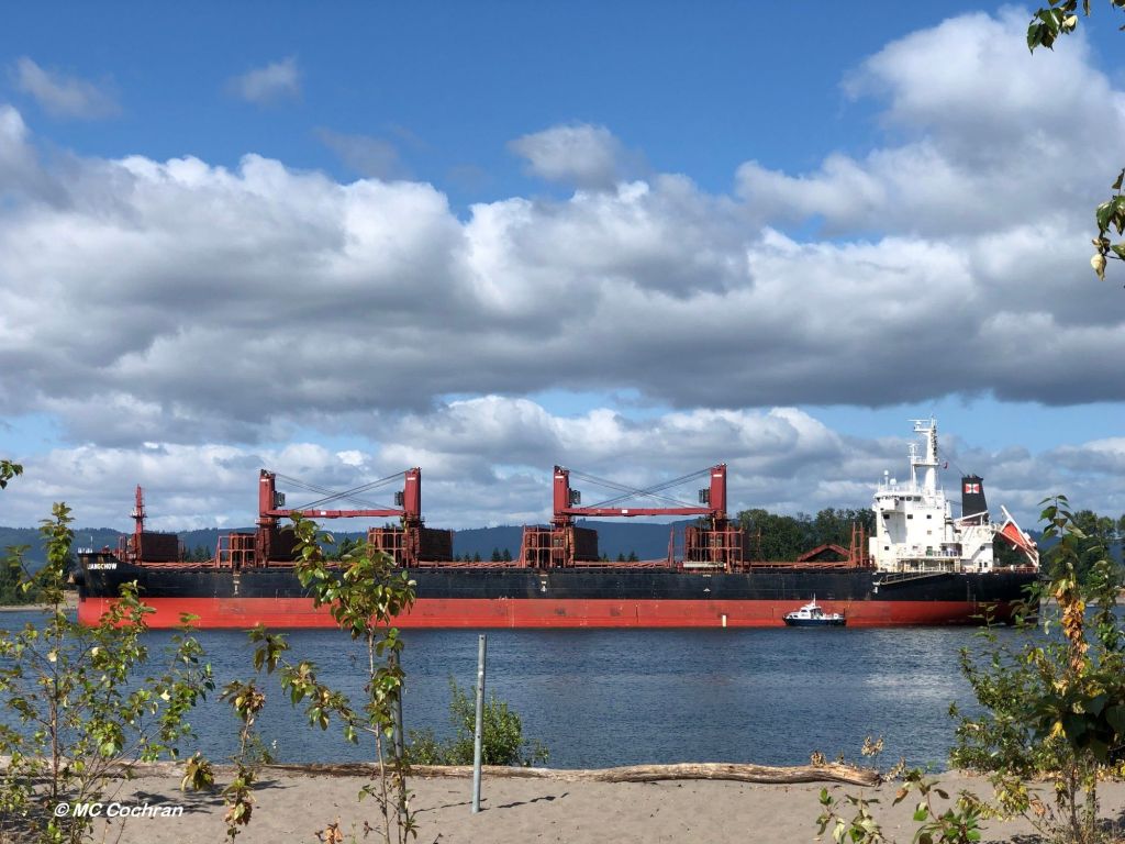
Across the river from Portland.
Oregon, not Maine.
Oh, never mind. It’s complicated.

Explorers Lewis and Clark wandered through here
on their way to the Pacific Ocean.
Lewis wrote that the area was
“the only desired situation for settlement
west of the Rocky Mountains.”
Then he moved on and settled in Oregon instead.
When asked why, it is said he was said
to have said, “It’s complicated.”

Captain U.S. Grant was stationed here,
at Columbia Barracks. Then he resigned from the army
and became president. Eventually.
A very uncivil war intervened in that General timeline.
We’re still hashing that war out.
Complicated, indeed.

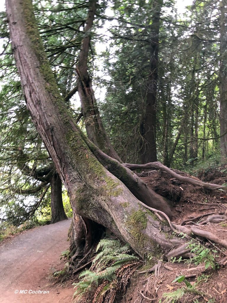
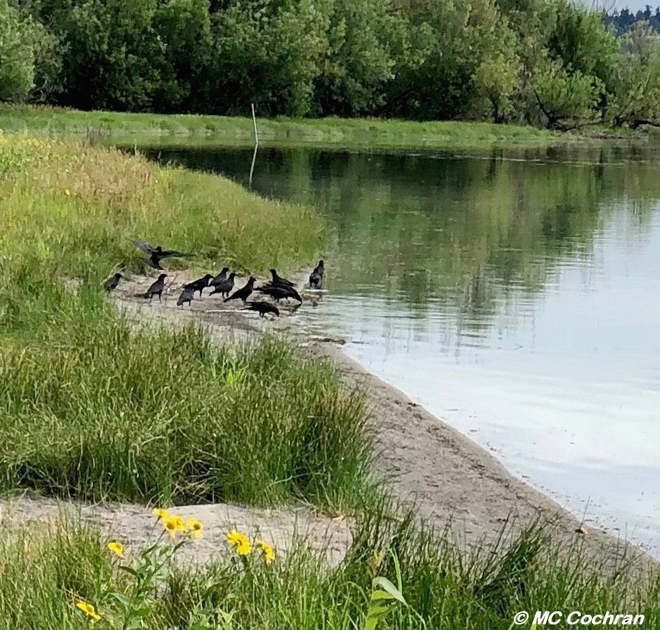
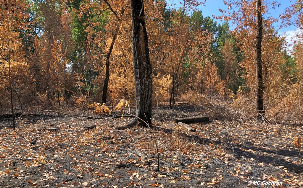
Sasquatch roams the forests in these parts.
Kinda shy, though; we don’t see him much.
Olympic figure skater Tonya Harding roamed the ice rinks here.
Then her competitor was cut off at the knees —
so to speak – and Tonya took the fall. So to speak.
It’s complicated.

We don’t carry umbrellas when it rains here.
For the most part we don’t jaywalk.
We wear dark clothes on dark days.
Maybe that’s why we forego jaywalking.
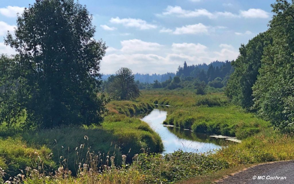
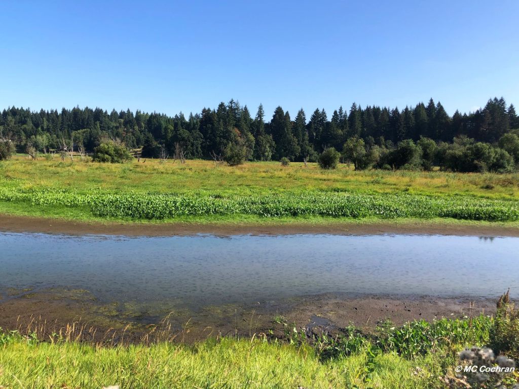
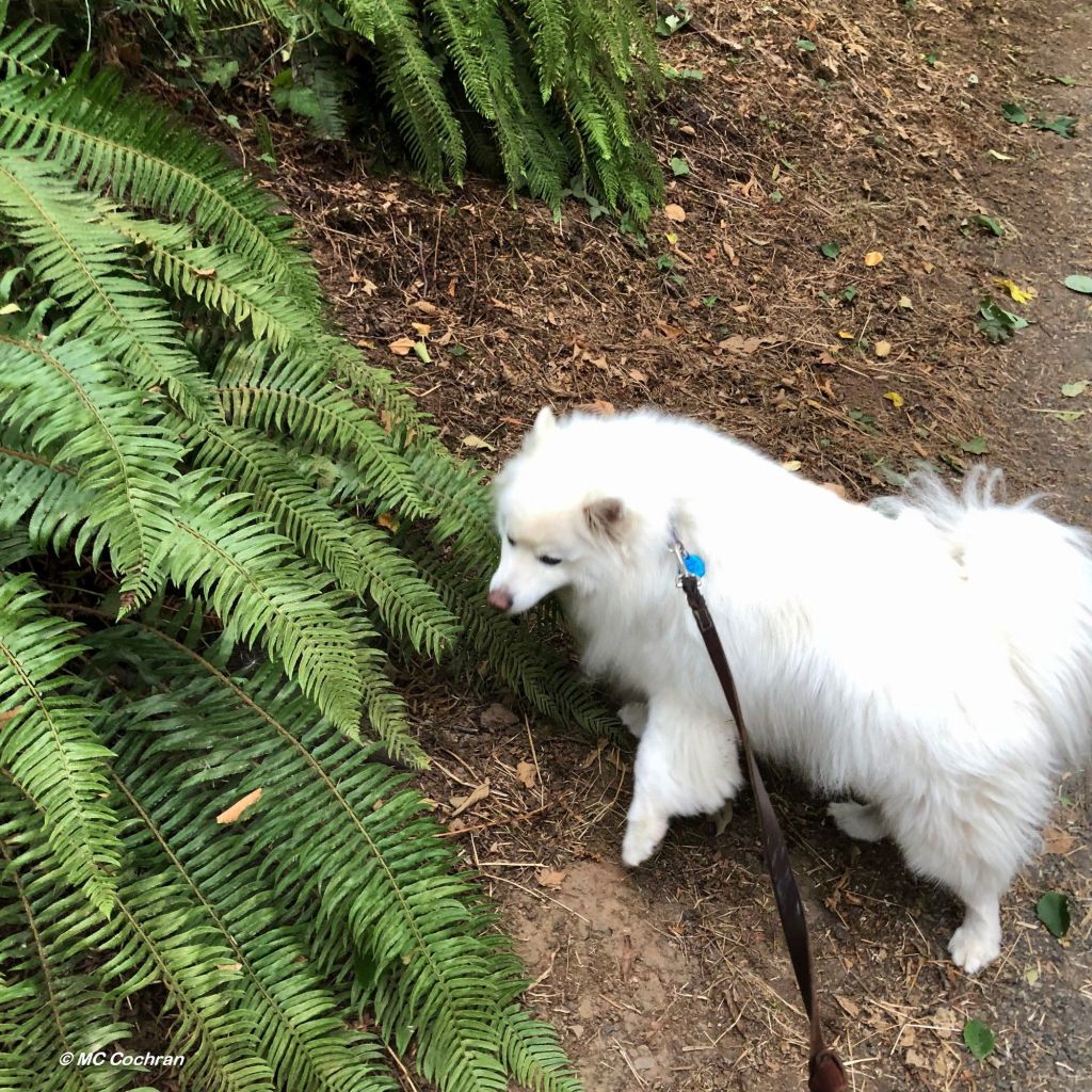
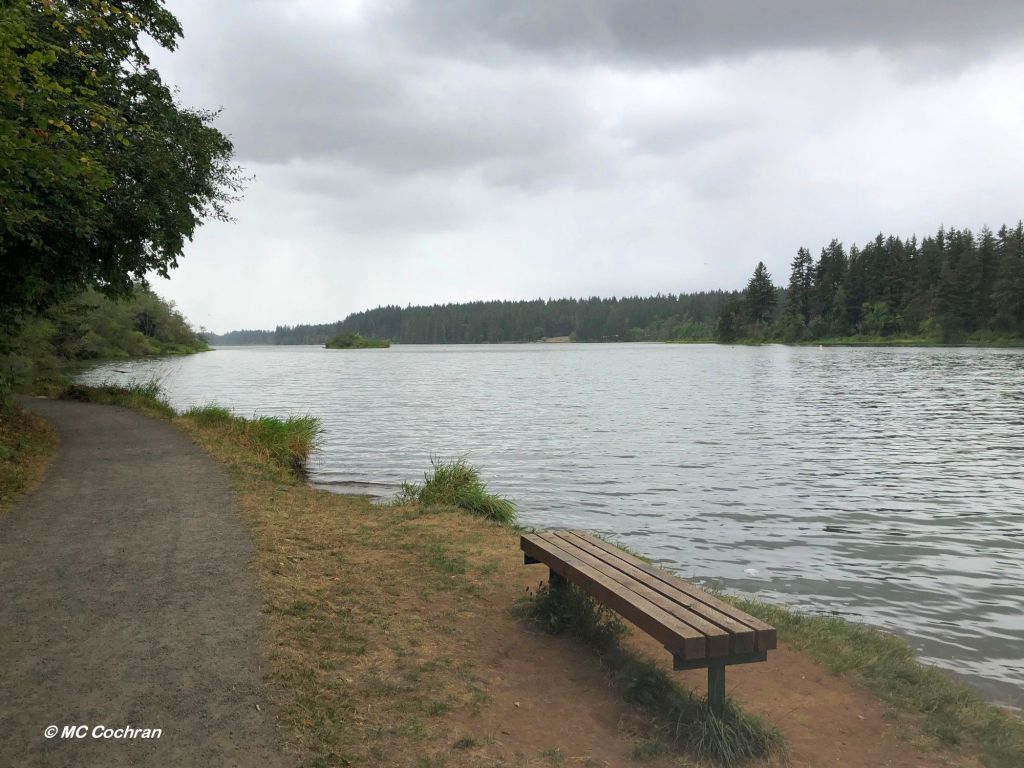
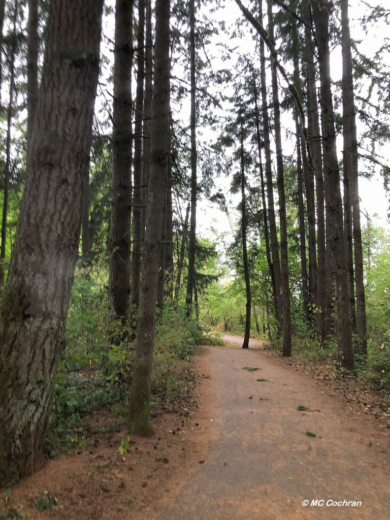
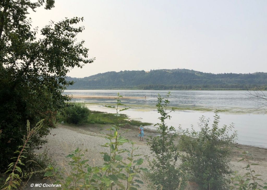
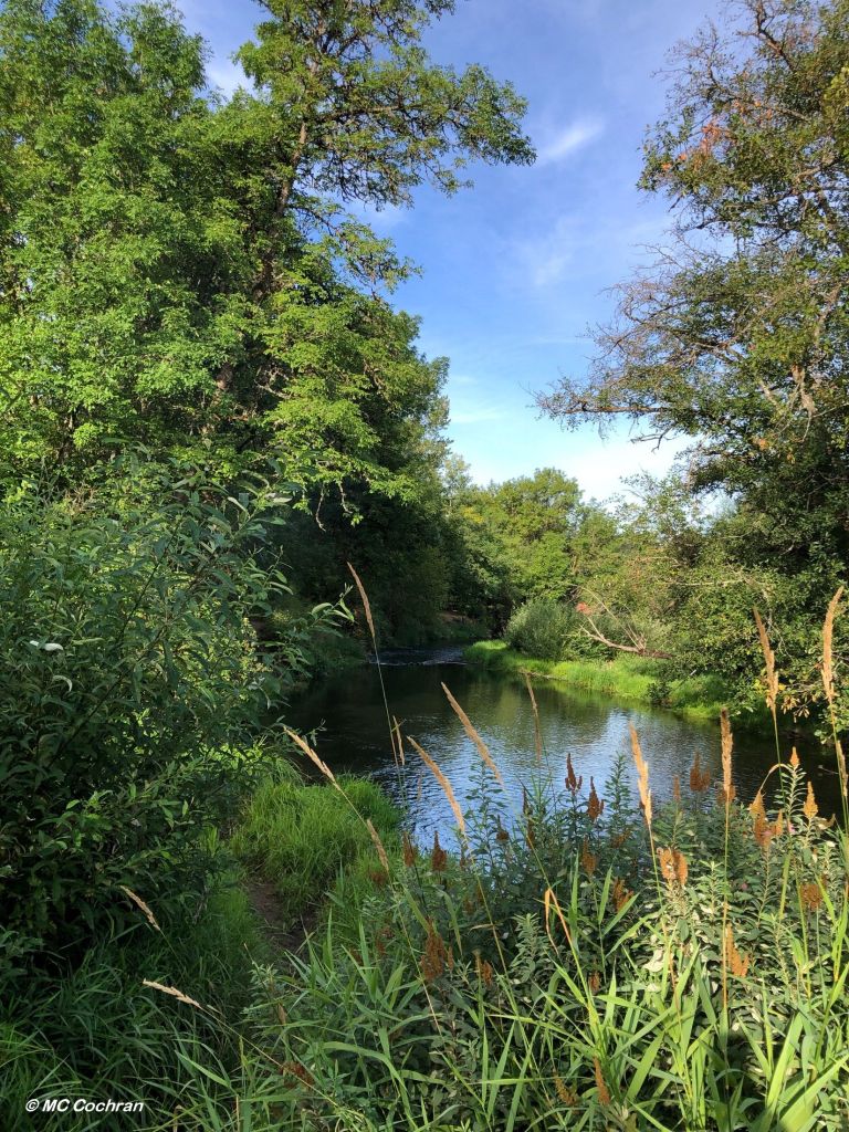
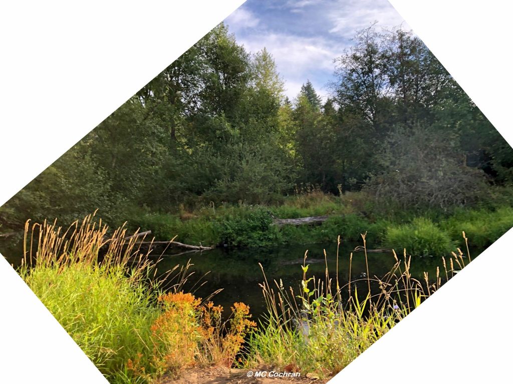
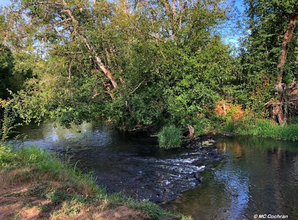
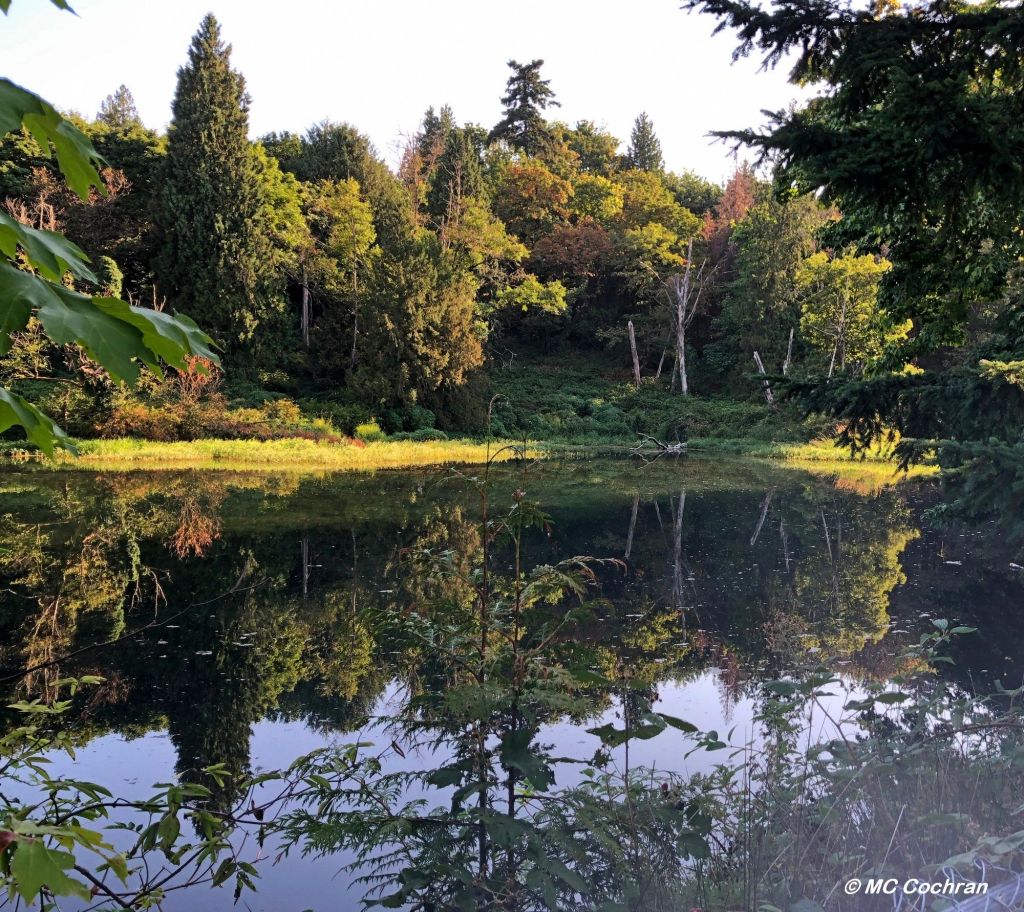
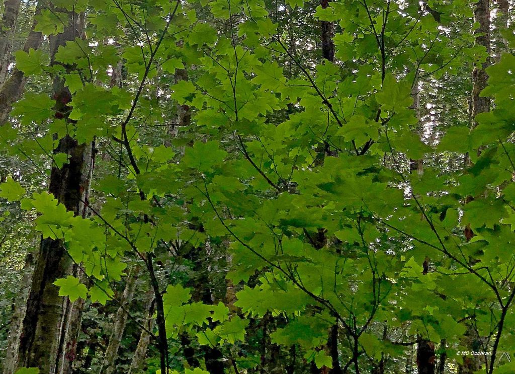
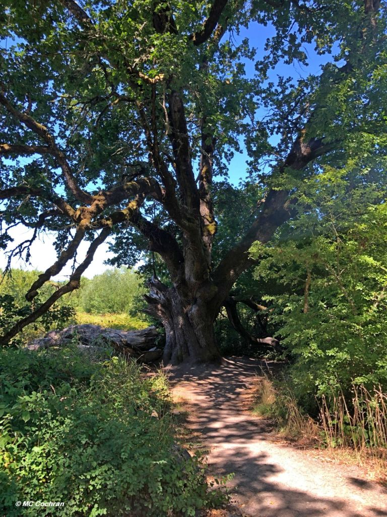
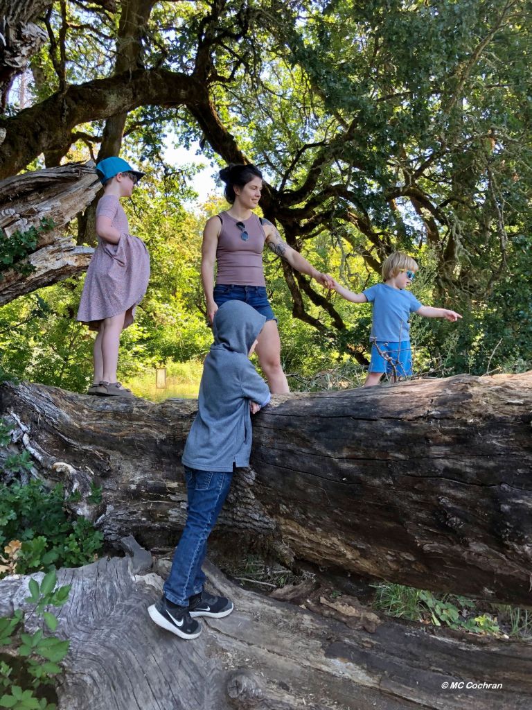
On sunny weekends we go hiking in the Gorge.
On rainy weekends we hike faster.
Simple pleasures.

You can wander down most any alley here and find
a micro-brewery or a coffee shop. Or both.
The local newspaper, The Columbian,
(named for the river, not the country)
sported this headline yesterday:
“There’s no reason to struggle to get your coffee fix —
even in the middle of a pandemic.”

We have our priorities, after all.
They are pretty straightforward.
Come visit us sometime, if you can find us.
It’s kind of complicated.


*National Poetry Writing Month, Day 26